Azimuth Elevation Range Data from Tracker to Vehicle Trajectory
- Oct 17, 2016
- Article
-
 STK Engine
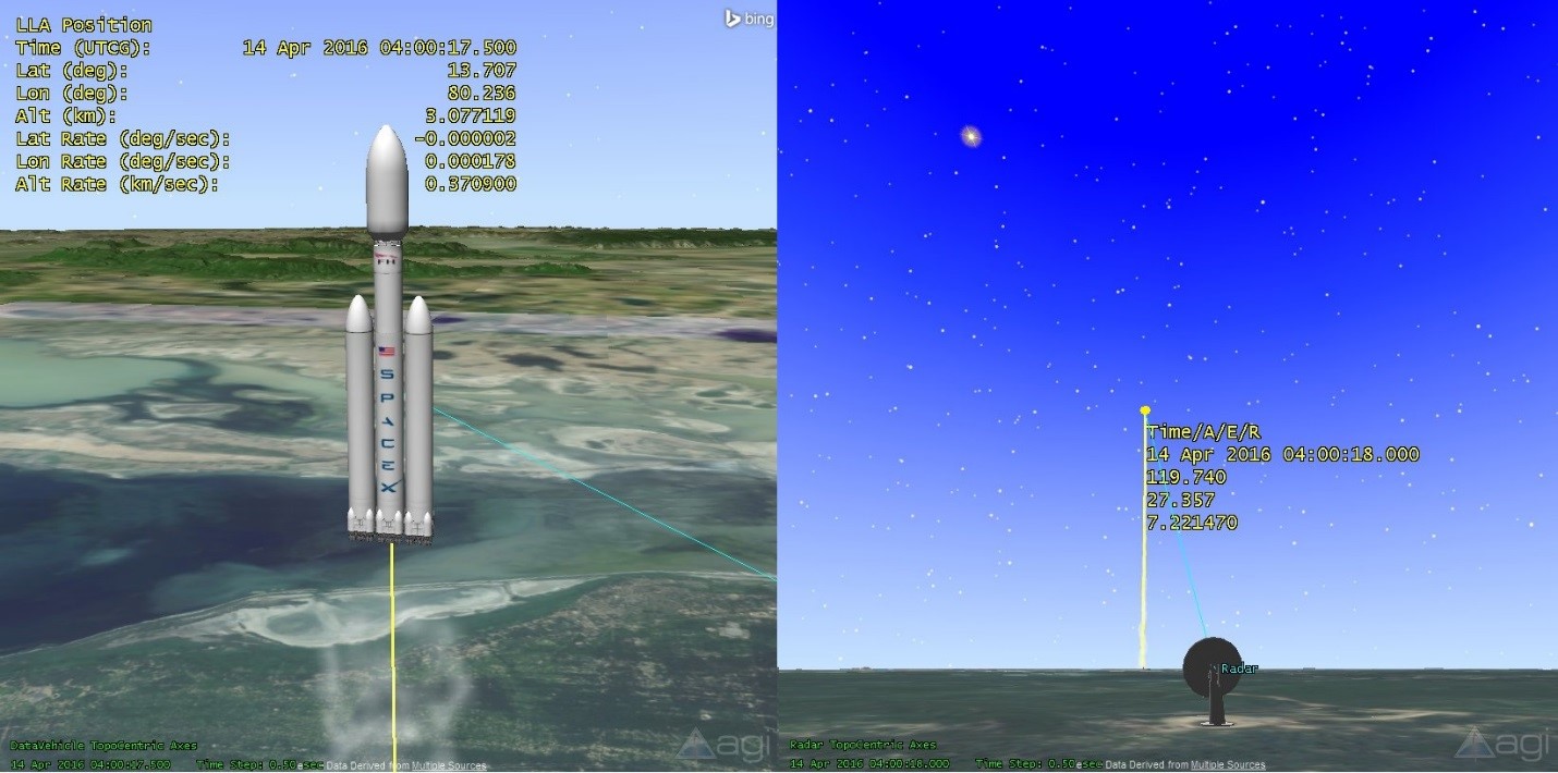
Launch Vehicle providers use STK for visualization and analysis of a satellite launch. These customers utilize scripts and custom STK Engine Applications to visualize this launch data in real-time and post-flight. This data sometimes is formatted as Azimuth Elevation Range (AER) Data from a ground or sea-based fixed radar location. If you want to use STK to convert AER data from a fixed location to a LLA position, you can use the following steps:

If you are tracking a satellite with this, the process will not be completely effective. Az-El-Range Data is generally pretty raw, biased or errored. AGI does have an amazing solution for this: You can use our application called the Orbit Determination Tool Kit, or "ODTK" to process this information to produce an accurate satellite orbit. ODTK utilizes a highly accurate processing system which takes raw tracking data in all formats and processes this data through a custom extended Kalman Filter with processed noise and Fixed Interval Smoother, in order to produce realistic satellite position, velocity, biases and perturbing force approximations.
- Ingest the Az-El-Range as a Point in the Analysis Workbench
- Report the position of the Point as LLA using Report and Graph Manager
- Copy this LLA position and create a new waypoint for a Great Arc Vehicle

If you are tracking a satellite with this, the process will not be completely effective. Az-El-Range Data is generally pretty raw, biased or errored. AGI does have an amazing solution for this: You can use our application called the Orbit Determination Tool Kit, or "ODTK" to process this information to produce an accurate satellite orbit. ODTK utilizes a highly accurate processing system which takes raw tracking data in all formats and processes this data through a custom extended Kalman Filter with processed noise and Fixed Interval Smoother, in order to produce realistic satellite position, velocity, biases and perturbing force approximations.
If you are tracking a Satellite with this process will not be completely effective. Az-El-Range Data is generally pretty raw, biased or errored. AGI does have an amazing solution for this, you can our application called ODTK to process this information to produce an accurate satellite orbit. ODTK utilizes a highly accurate processing system which takes raw tracking data in all formats and processes this data through a custom extended Kalman Filter with processed noise and Fixed Interval Smoother, in order to produce realistic satellite position, velocity, biases and perturbing force approximations. Please visit the ODTK product page for more information.

