Geospatial Content Server (GCS)
Host, process, and serve terrain, imagery, and other heterogeneous 3D data.
View More
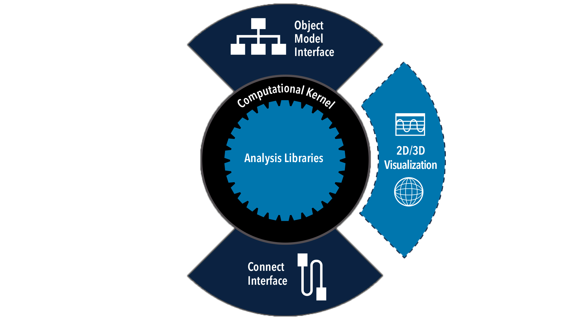
Analysis Workbench
Create custom functions and calculations relative to times, positions, and reference frames.
View More
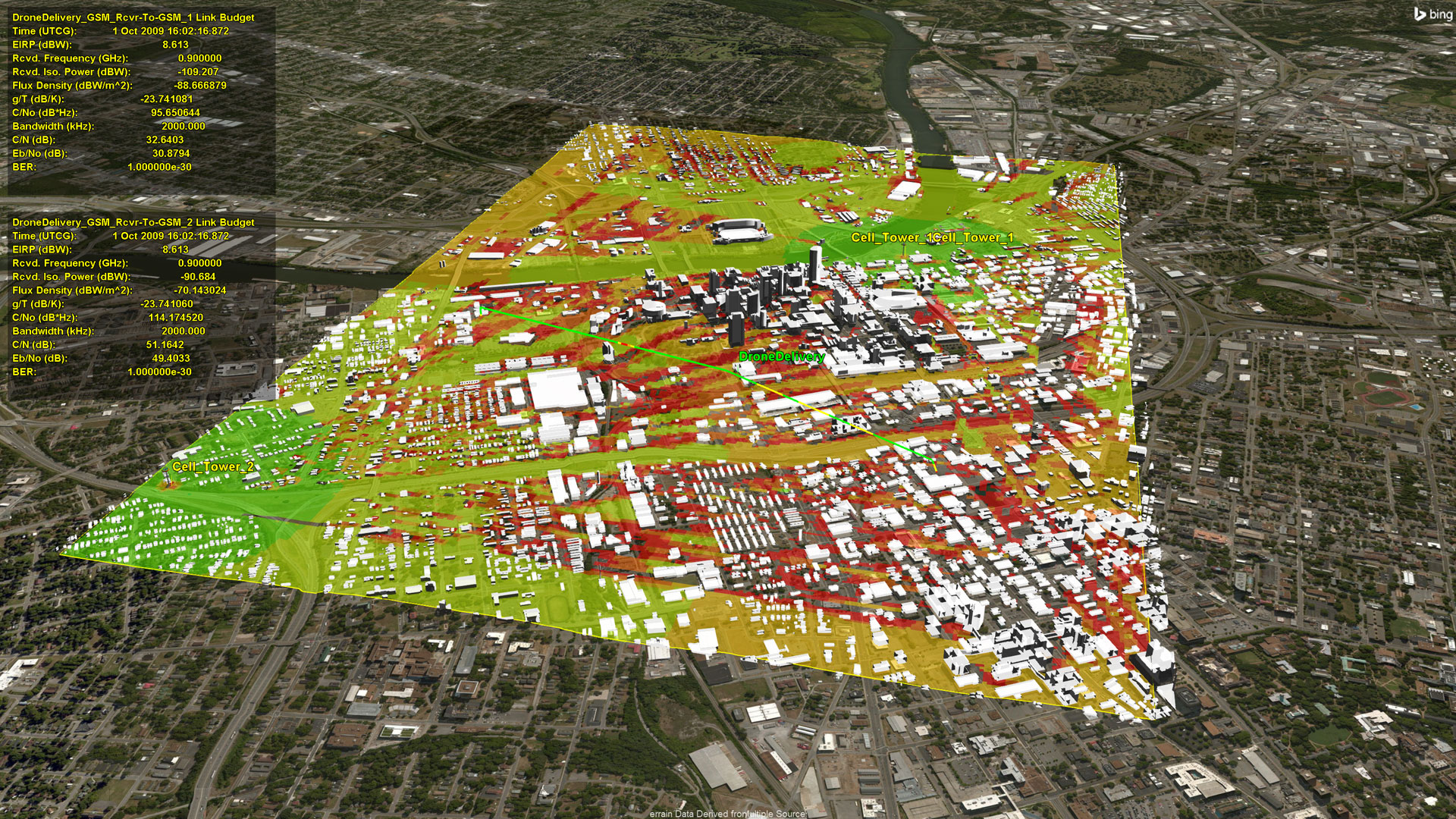
Analyzer and Optimizer
Perform automated trade studies with the fully integrated analysis capabilities of ModelCenter.
View More
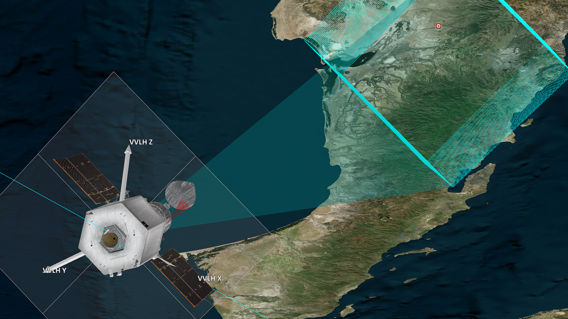
Astrogator
Design high-fidelity spacecraft trajectories for mission planning and operations.
View More

Aviator Pro / Prop Nav
Add guidance strategies, rotorcraft models, and missile models to your STK Aviator repertoire.
View More


STK Data Federate (SDF)
Centralize STK data with AGI’s web-based content management system.
View More


Integration
Automate Systems Tool Kit (STK) and integrate it with other applications to extend its capabilities.
View More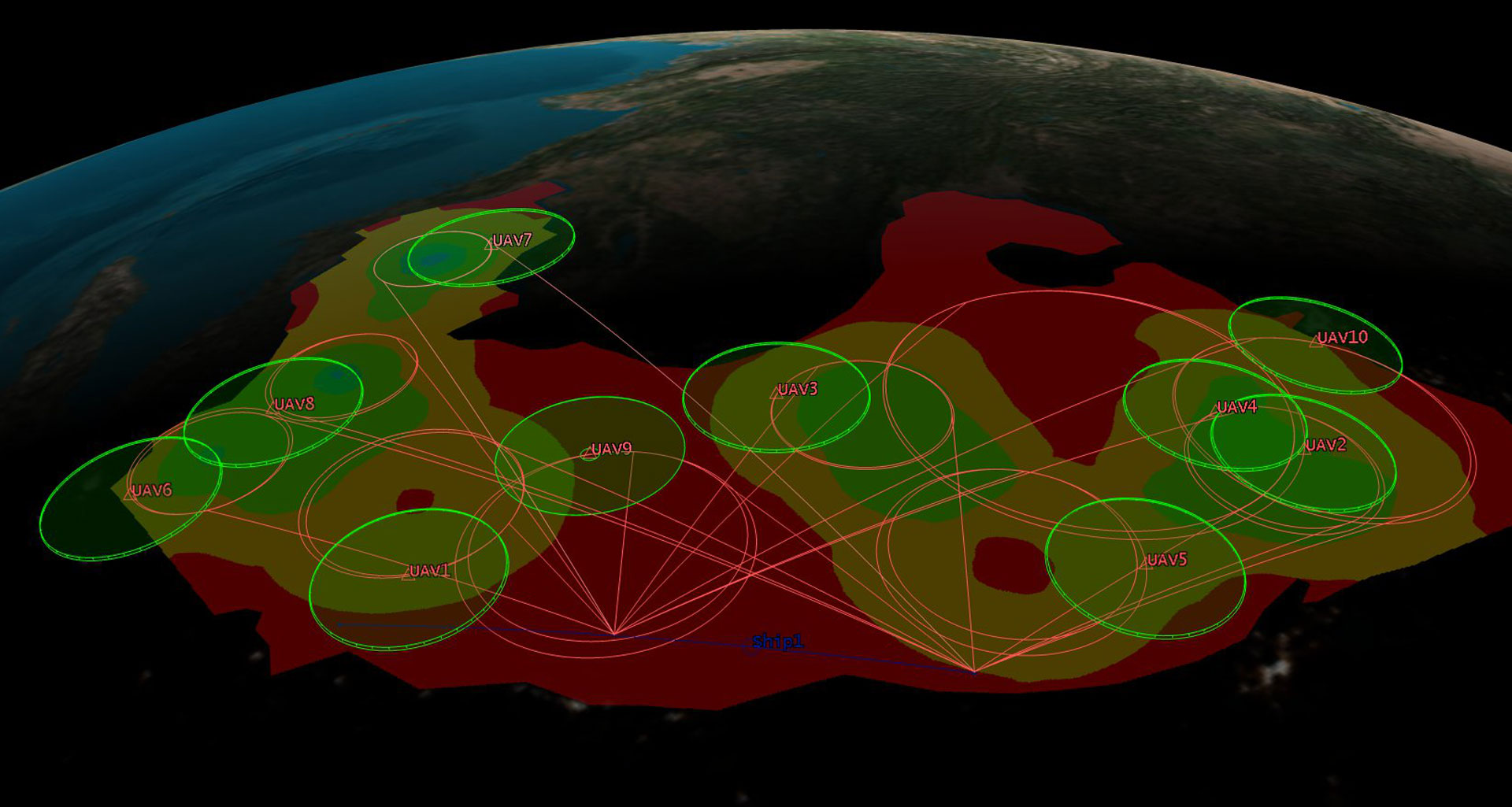


SatPro
Design and operate satellite systems with specialized propagators, attitude profiles, and satellite engineering tools.
View More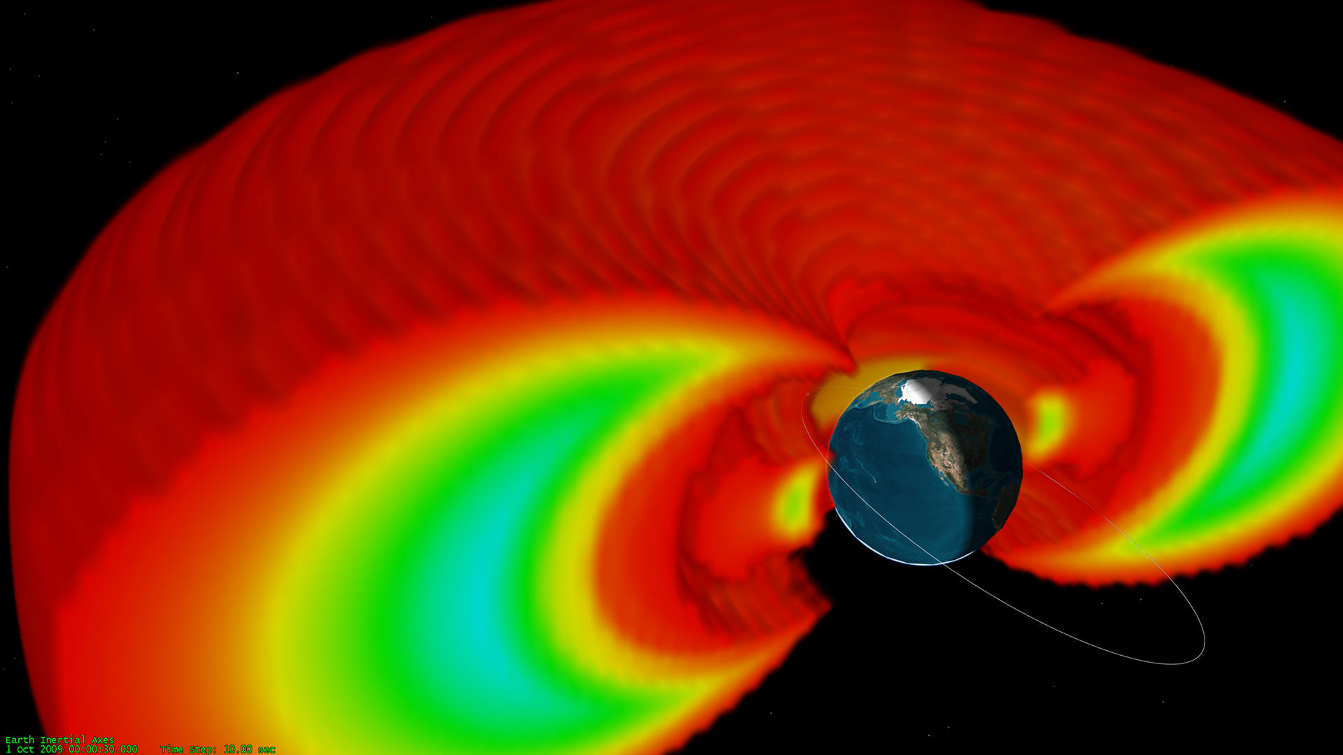
Space Environment Effects Tool
Add space environment variables to your orbit modeling and analysis.
View More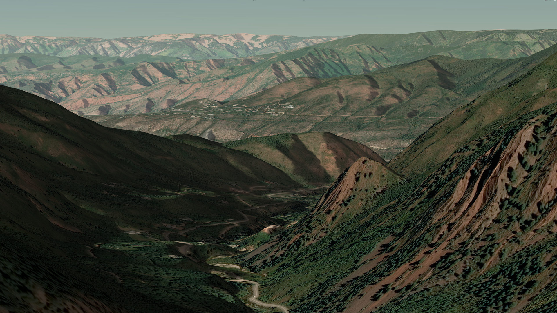
Terrain, Imagery, and Maps (TIM)
Terrain data, Earth imagery, and maps for offline access.
View More